See the country through the regional stories that shape TraciaLand.
This atlas gives territories, routes, and hub relationships a calm shared frame, so partners can read the country quickly, visitors can orient themselves easily, and every story stays tied to place.
Regional atlas
Each region card combines atmosphere, heritage, host relationships, and local activation potential in one compact editorial view.
Banat - Vest
"A little EUROPE on the plate," multiculturalism, traditional recipes, small producers and biodiversity shaped by Romanian, German, Serbian, Hungarian, Swabian and Czech influences. The wine road, open-air museums, authentic gastronomy and the village gates open the way into BANAT - European Region of Gastronomy 2028. Timis, Arad and Caras-Severin, under the slogan "Fusion Beyond Borders", promote multicultural culinary diversity and place western Romania on the map of Europe's elite culinary destinations!
Bucovina - Neamț
Bucovina - the Land of Beech Trees, with its painted monasteries included in UNESCO Heritage and its villages edged by forests, together with the Neamt Land, nicknamed the Pearl of Moldavia, are two lands full of spectacular nature, history and spirituality.
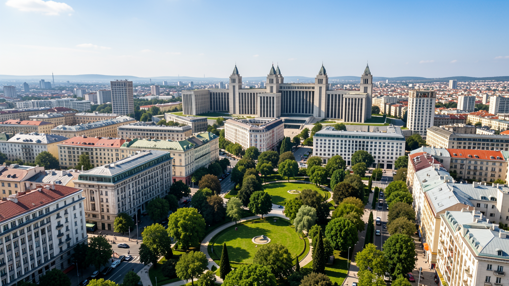
București - Ilfov
A vibrant combination of Bucharest's dynamic urban life, with festivals and diverse cultural attractions, eclectic architecture and nightlife, while the surrounding areas offer palaces, forests and the lakes of Ilfov, ideal for relaxation and nature getaways.
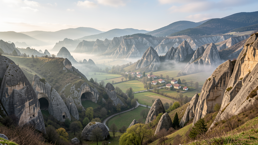
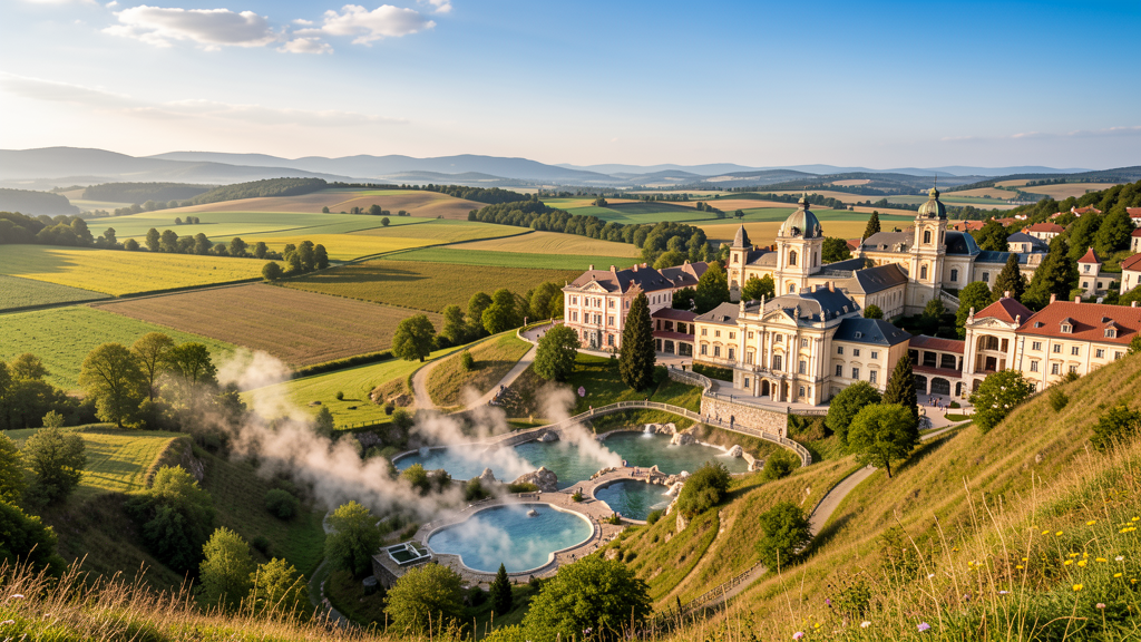
Crișana - Apuseni
Spectacular nature, preserved traditions, impressive caves, mountain trails and picturesque villages in the Moti Land, together with renowned spa resorts, while Oradea is recognized for the Art Nouveau architecture found at every turn.
Dobrogea - Gurile Dunării
A living story between water, stone and wind, Dobrogea is a land where the wild waters of the Danube Delta intertwine with the stillness of the sea, while ancient history whispers to you among the ruins of Histria Fortress and the gentle ridges of the Macin Mountains.
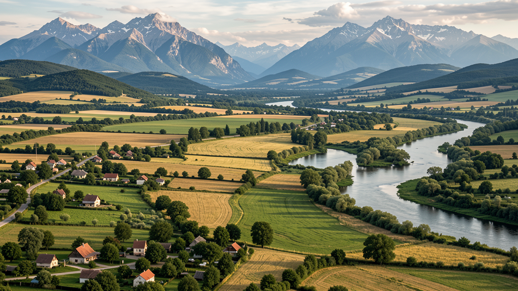
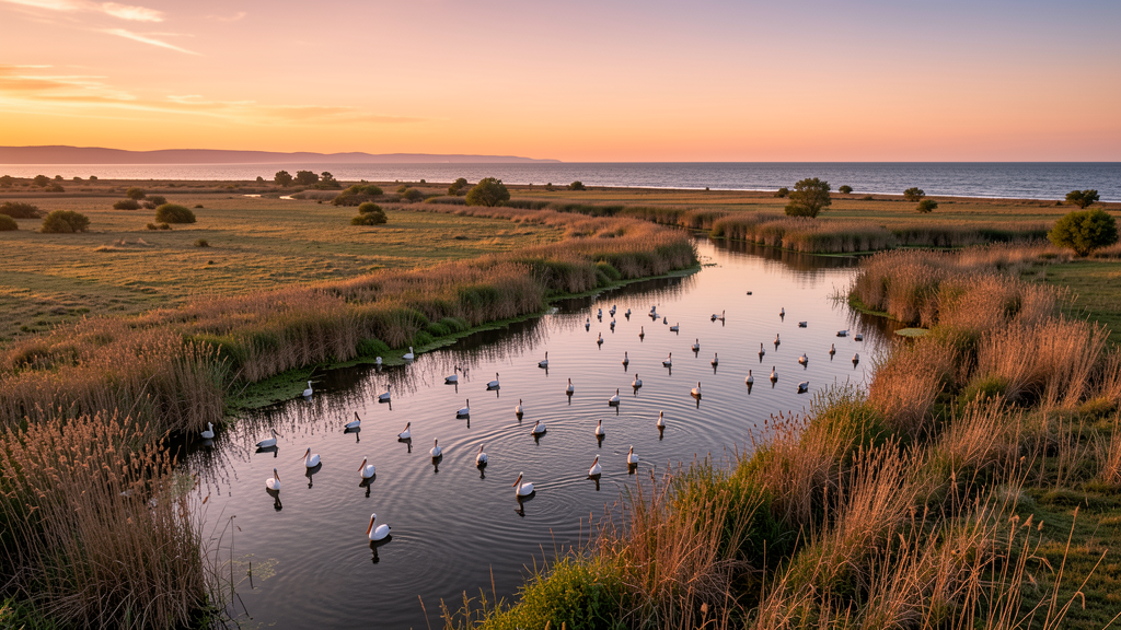
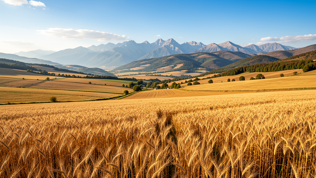
Moldova - Lunca Prutului
The Prut Valley is the ideal destination for those seeking relaxation, a unique combination of natural landscapes, living traditions and cultural heritage with a strong historical charge, monuments, old churches and archaeological sites. Rural tourism is very well represented, with countless festivals and events where visitors can discover local gastronomy based on natural products. Nature, dominated by fertile meadows, floodplain forests and wetlands rich in biodiversity, sheltering numerous species of birds and fish, is highly attractive to lovers of fishing and birdwatching.
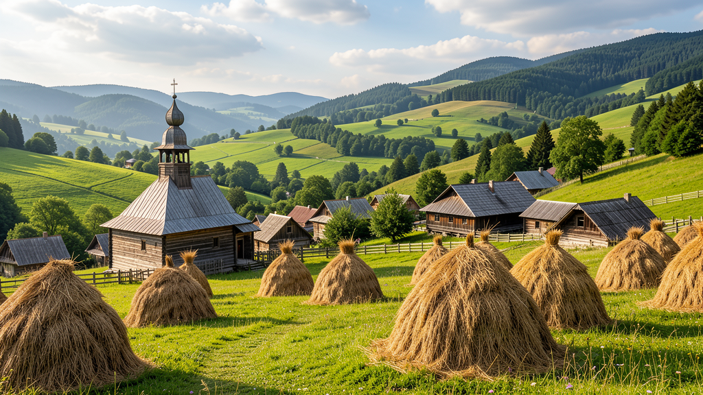
Oaș, Maramureș - Năsăud
Maramures is truly a living museum, with carved gates that tell stories, wooden churches rising toward the sky as testimonies of faith and ancient craftsmanship, while the traditional villages are not a backdrop, but a way of life: people proudly wear folk costumes, and customs are passed down naturally from generation to generation. Nasaud, full of quiet and secluded communities, hard to conquer, the Oas Land, where the idea of the "free Dacians" gains meaning through the continuity of a distinct regional identity, deeply rooted in the past, together with historical Maramures, all three form a journey into the essence of authentic Romania, where echoes of a deep history are preserved, tied to the untamed spirit of the "free Dacians".
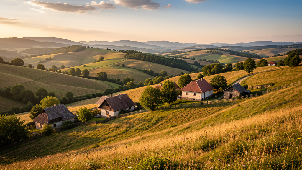
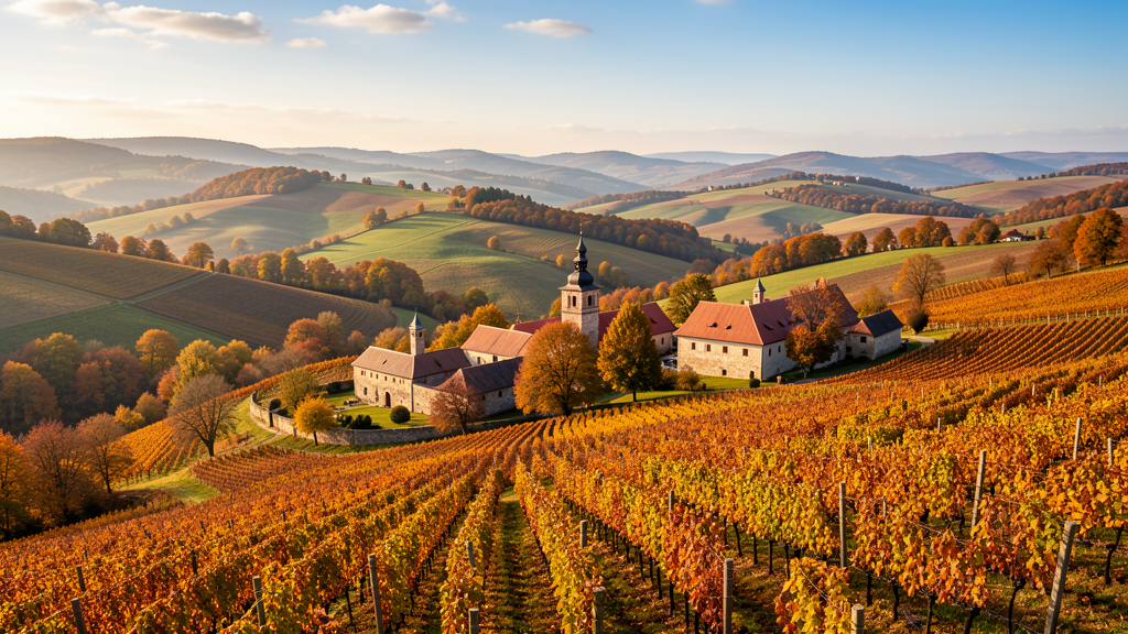
Valahia Mică - Oltenia
Oltenia is a region in full development, rich in unvalorized natural and man-made resources, natural parks, unique flora, caves and Natura 2000 sites, medieval history and Geto-Dacian civilization. From the Danubian knights and the Neolithic Garla Mare culture to noble mansions, ecumenical tourism and stories that have come to life, the magic of Oltenia captivates and invites visitors to discover it through traditions, culture and authentic experiences. Spa and health tourism, cultural-monastic tourism and mountain tourism are all well represented, and in recent years Craiova has managed to host international fairs and festivals that have placed it among Europe's top cities, becoming one of the most interesting urban city-break destinations, with a successful blend of culture, history, parks and green spaces appreciated by visitors.
Valahia Mare - Muntenia
Wallachia Mare, or Muntenia, is a historical region appreciated and recognized worldwide by culture enthusiasts. Situated between the Carpathian Mountains and the Danube River, it still bears the imprint of a rich history in which rulers such as Vlad Tepes left important traces. The medieval princely capital of Targoviste, emblematic monuments such as Curtea de Arges Monastery and Snagov Monastery, and Poenari Fortress are all tied to the legends of Tepes. Peles Castle shines like a royal dream at the foot of the Bucegi Mountains, while Ploiesti is a city of industrial tradition with museums at every turn. Buzau, a land of mysteries full of contrasts, offers rock-hewn hermit cells, the UNESCO Heritage Buzau Land Geopark, the amber museum, mud volcanoes and, not least, an exceptional gastronomic heritage found at every step.
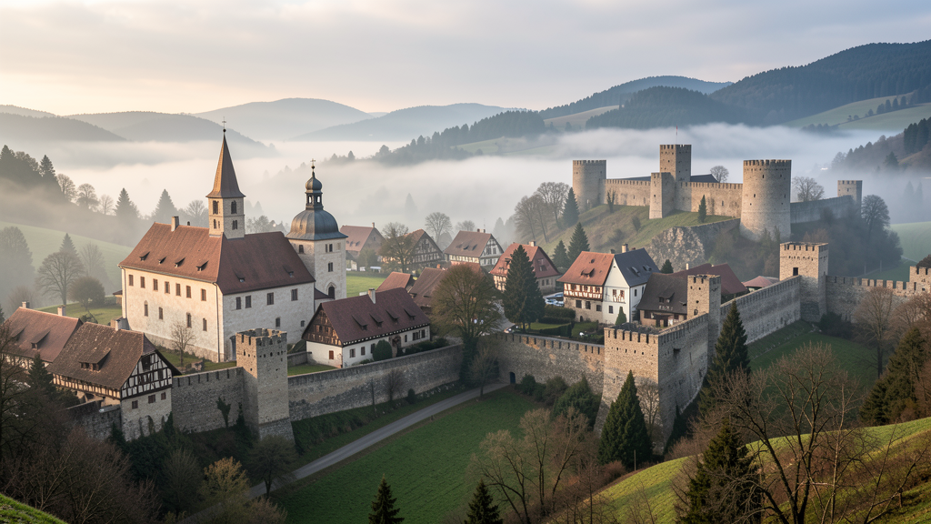
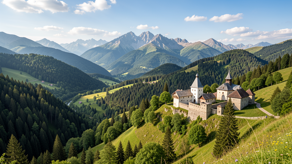
Transilvania Centrală
A territory revealed at a pace that brings you closer to the essence of the place, where the road carries you through Saxon villages with fortified churches, orchards and hand-mown fields, offering travelers testimony to an authentic simplicity, to people working the land, to horse-drawn carts, all within a landscape where gentle hills, wide meadows and deep forests alternate in harmony. Discover a gentle geography where every bend reveals a story, and the routes connect communities, cultures and different eras, offering a vivid image of Transylvanian diversity.
How to read the map
Start with territory
Each region works as an entry point into routes, food stories, craft practices, and community programs.
Context before selection
The atlas explains why experiences belong to a place before it asks visitors to choose among them.
Made for guided reading
It works especially well in meetings, exhibitions, and guided presentations where a clear territorial overview matters most.
What this atlas helps you see
A region-led view of the country
Clear geographic context for routes and hubs
Reliable imagery prepared for presentations
A presentation-friendly structure for guided use